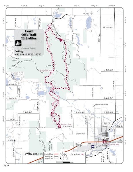
VVMapping.com - providing high quality mapping products for outdoor recreation & Beyond

You are here -> Home: Trail Info: Evart

Home

Free Maps

Store

ORV Trail Maps

Snowmobile Trail Maps

Outdoor Recreation Maps

Service/Support

Contact

Privacy Policy

About Us

Mailing List


Information on Evart ORV Trail

Back to Main Trail Info Page

OHM

Evart
Pg# 32 (PDF)
Width: 40"
Length: 23.8
Traffic: Some
County Rds Open to ORVs: Yes
Forest Rds Open to ORVs: No
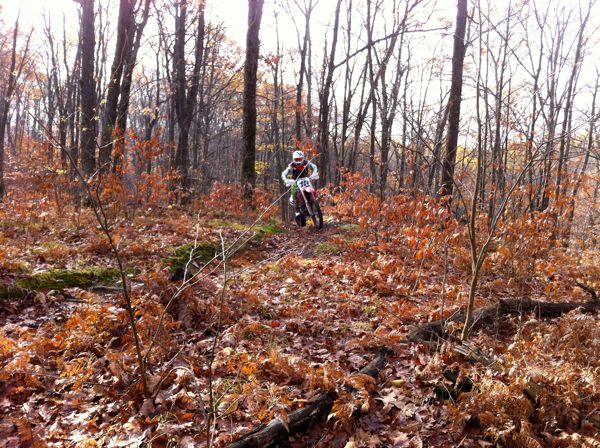
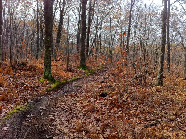
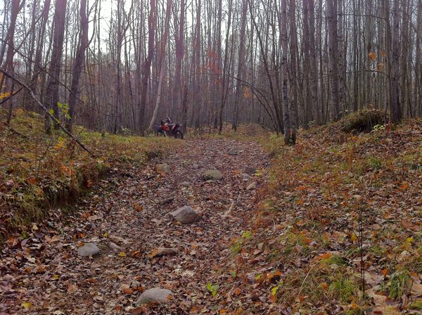
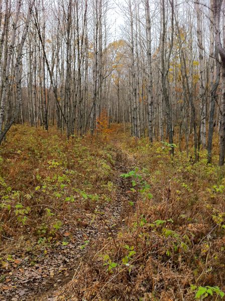
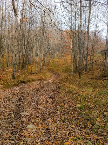
ORV Trail, motorcycle-only. Generally hilly and mostly mix of hard and softwoods(little pine). Rockiest trail in the lower peninsula with some semi-challenging short rocky/rooty climbs. Some sections are severely whooped. Mostly sand and some harder pack from decent tree cover allowing for firmer soil. Quite a few softball and larger loose rocks mixed in. Trail is generally open but with flowing tighter turns and lots of elevation changes. Small Use Area “the Sugar Bowl” on northeastern portion of trail open to ATVs and Motorcycles. Modern staging area. Located in Osceola county which allows ORVs on county roads.

Video of Trail, 6 minutes, Quicktime, 46 MB


Back to Trails List

Information about this page

Information regarding ORV use in Michigan

Trail Guide at a glance

Big Picture of trail locations

Map Book Information

GPS Map Information

Creative Commons License
This work is licensed under a Creative Commons Attribution-Noncommercial-No Derivative Works 3.0 License

Email Webmaster@vvmapping.com for site issues/suggestions
Email info@vvmapping.com for all other items

Copyright 2008 Valley Ventures Mapping LLC