VVMapping.com - providing high quality mapping products for outdoor recreation

You are here -> Home: Trail Info: Keweenaw

Home

Free Maps

Store

ORV Trail Maps

Snowmobile Trail Maps

Outdoor Recreation Maps

Service/Support

Contact

Privacy Policy

About Us

Mailing List


Information on Keweenaw ORV Route
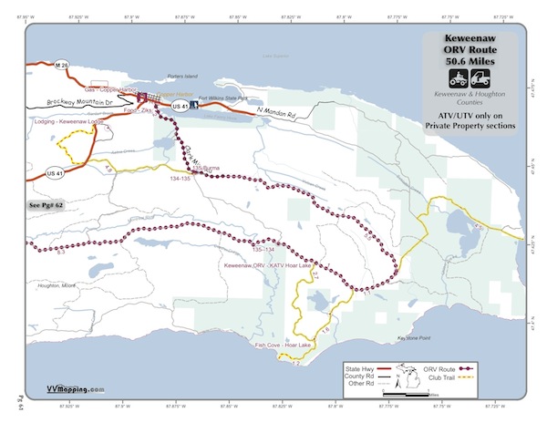
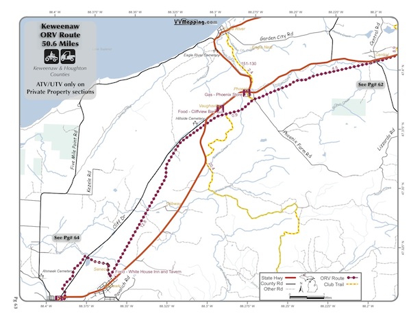
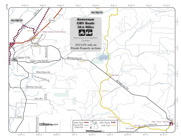
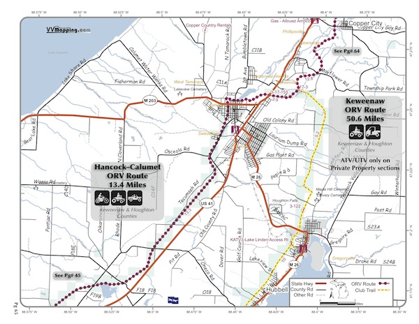
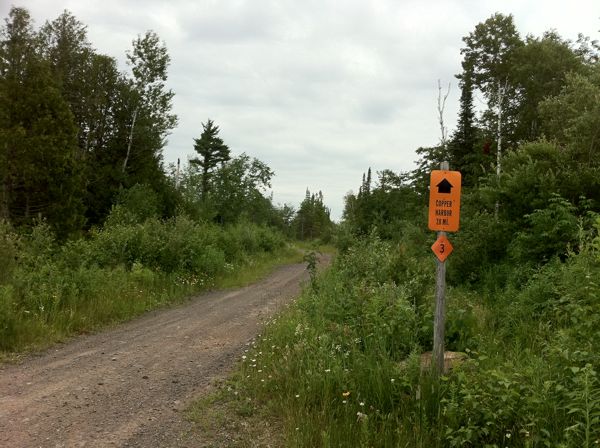
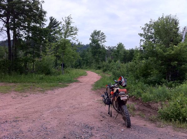
Back to Main Trail Info Page

ATV

Keweenaw
Pg# (PDF)
Width: 72"
Length: 50.6
Traffic: Little
County Rds Open to ORVs: Yes
Forest Rds Open to ORVs: Yes
Restricted ORV Route, open to ATV and UTVs only. Seasonally open fromMay 1 through Nov 1. Additional 66 miles of Club-Sponsored Trails that are not part of the State's System. Some trails are not open to unlicensed motorcycles due to private property request. Trails are mostly snowmobile trails and marked as such. Rocky and hard-packed with some small elevation changes. Many sections are former railroad with old protruding timbers. Many scenic views, lake shore views; generally forested. Connects to Hancock ORV Route, multiple town food/fuel/lodging spurs. New in 2011, added to State System in 2012. Located in Houghton and Keweenaw Counties which allow ORVs on their roads. Forest roads generally open as well.

** This trail system primarily uses private property, much of that is commercial timber land. There has been a request to limit this trail system to only ATV and Side by Side ORVs and specifically prohibit off-highway motorcycles. Most of the trail system is generally open to street licensed vehicles which includes street licensed motorcycles. As of 11/1/12 we are not aware of any law or rule that prohibits Off Highway Motorcycles or full-size vehicles from this system - we expect the DNR to issue an administrative rule or Director's Order that would exclude all vehicles except ATVs and UTVs.

The "Club Trails" shown are not part of the official State Designated System and are "local" trails the Club is sponsoring to provide a more extensive system on private property. **


Video of Trail, 4 minutes, Quicktime, 30 MB


Back to Trails List

Information about this page

Information regarding ORV use in Michigan

Trail Guide at a glance

Big Picture of trail locations

Map Book Information

GPS Map Information

Creative Commons License
This work is licensed under a Creative Commons Attribution-Noncommercial-No Derivative Works 3.0 License

Email Webmaster@vvmapping.com for site issues/suggestions
Email info@vvmapping.com for all other items

Copyright 2008 Valley Ventures Mapping LLC