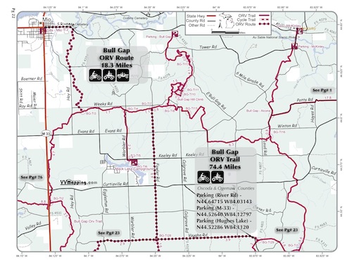
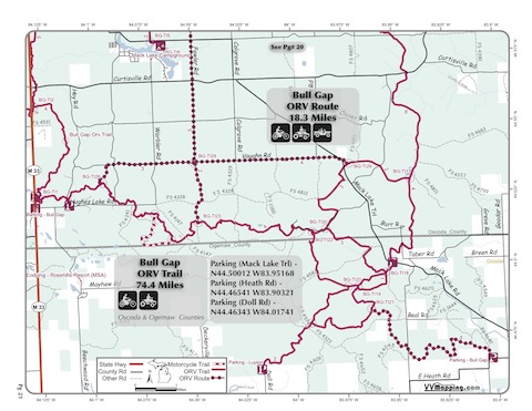
Bull Gap
Pg# 20-21 (PDF
20, PDF
21)
Width: 50"
Length: 74.4
Traffic: More
County Rds Open to ORVs: Yes
Forest Rds Open to ORVs: No
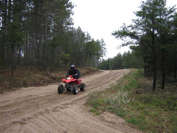
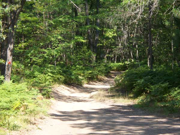
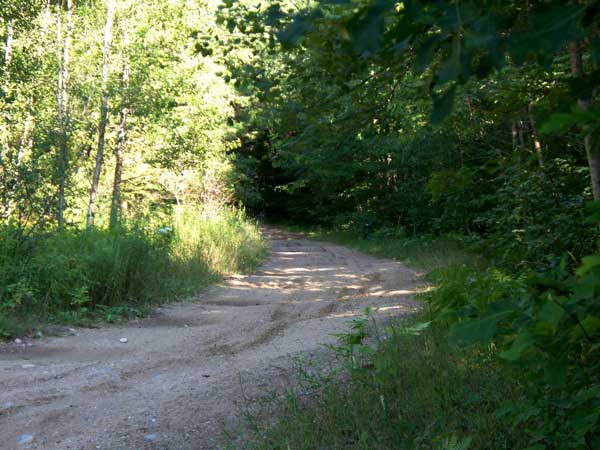
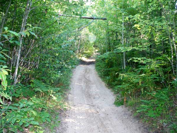
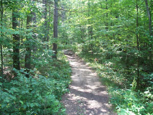
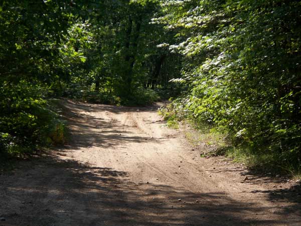
ORV Trail, very wide (technically meets Route specification but restricted to ATVs/Motorcycles). Sandy and whooped to the north, rocky
and hardpacked to the south. Varies from flat/open to hilly/open.
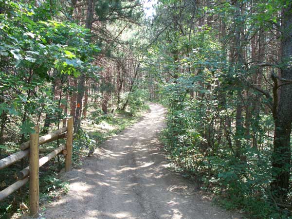
Several loop options. Includes hill climb/scramble area "Bull
Gap Hill". Trail recently (2011) widened and no longer any 50" sections, all at least 72" wide though restricted to ORVs under 50" in width. Connects to Meadows ORV trail and also Alcona ORV Trail. Connects to Pink
Store on M-33 for food/fuel. Connects to Mio for food/fuel/motel
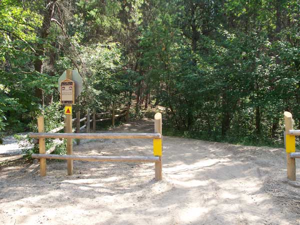
access. Connects to McKinley for food and sometimes fuel. Connects to Mack Lake campground. Several staging areas,
the one on M-33 is modern. Located in Oscoda and Ogemaw counties.
See also the Meadows
Trail and Alcona Trail.