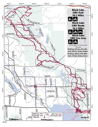
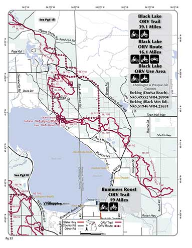
Black Lake
Pg# 18,22 (PDF
18, PDF
22)
Width: 50"
Length: 39.1
Traffic: More
County Rds Open to ORVs: Yes
Forest Rds Open to ORVs: No
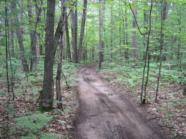
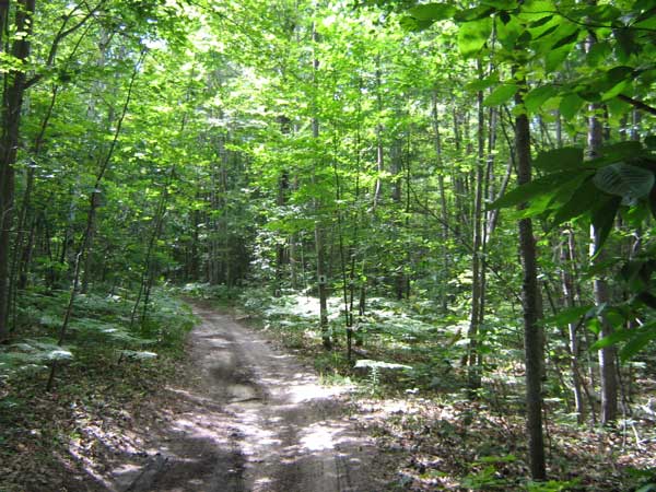
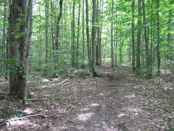
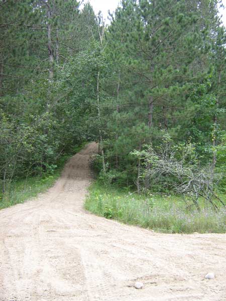
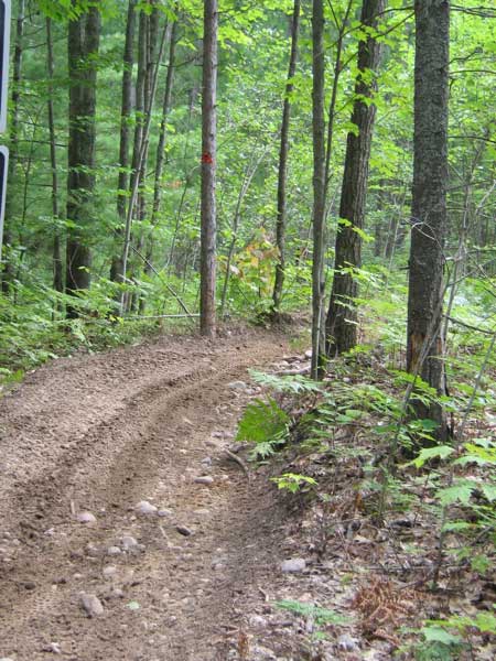
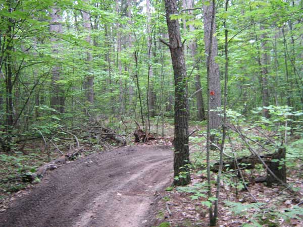
ORV Trail. Generally sandy with some rocks and roots on the south
end. Flat & narrow
at the north with little use. Hilly, wider, (frequently) whooped
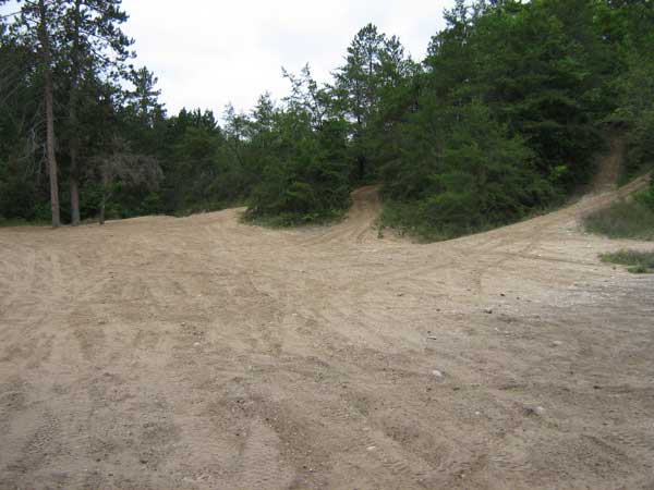
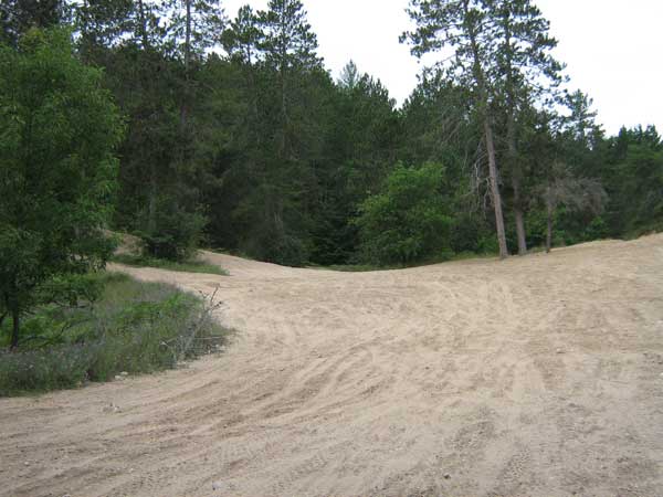
and used more heavily at the south. Connects to small Use Area
which allows cross-country travel in a sandy bowl area that used
to be a snow ski resort. Full size vehicles are not allowed in
the Use Area. Connects to Bummers Roost ORV Trail. Connects to
Bluffs Resort (campground/food/gas) and Black Lake State Forest
Campground. Modern staging area near Use Area, staging area near
Bluffs Resort and on County Road 489 (far south end) as well. Located
in Cheboygan and Presque
Isle counties which allow ORVs on county
roads. See also the Black Lake
Route and Bummers Roost Trail.
Video of Trail including Use Area, 5 minutes, Quicktime,
40 MB