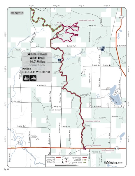
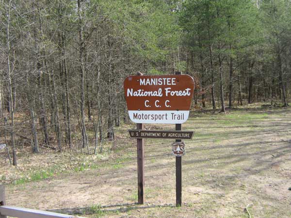
White Cloud
Pg# 96 (PDF)
Width: 50"
Length: 14.7
Traffic: Some
County Rds Open to ORVs: No
Forest Rds Open to ORVs: No
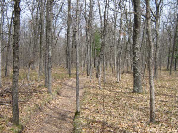
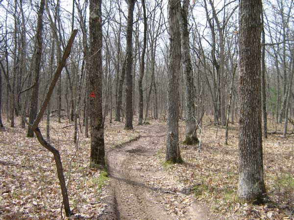
ORV Trail. Mostly sandy but with sections of harder pack/clay,
frequently whooped. North loop rerouted in 2010 with ~3 miles of
new trail. Width ranges from wider near parking area to narrow
50" trail
through northern portion. Mostly forested with a mix of red pine
and hardwoods. Generally rolling terrain. Trail is pretty windy
and has spots that a big ATV will have difficulty negotiating due
to turn and tree placement. Linear trail from parking area to a
loop at far end of trail. MCCCT continues north from loop, open
only to motorcycles; MCCCT also marked on entire system including
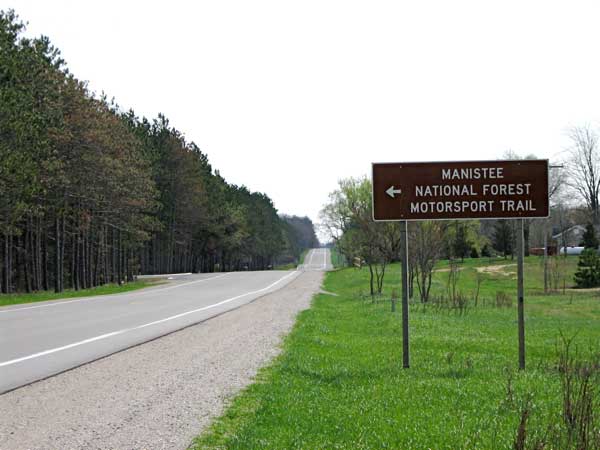
north loop plus shortcut. Original section of ORV trail in State
from the late 60's. MCCCT connects to Big O system (requires SOS
license). Modern staging area.