VVMapping.com - providing high quality mapping products for outdoor recreation & Beyond

You are here -> Home: Trail Info: Tomahawk

Home

Free Maps

Store

ORV Trail Maps

Snowmobile Trail Maps

Outdoor Recreation Maps

Service/Support

Contact

Privacy Policy

About Us

Mailing List


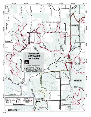
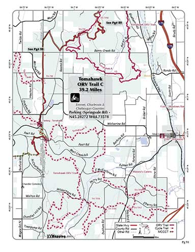
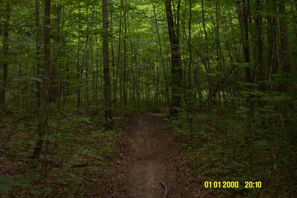
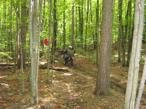
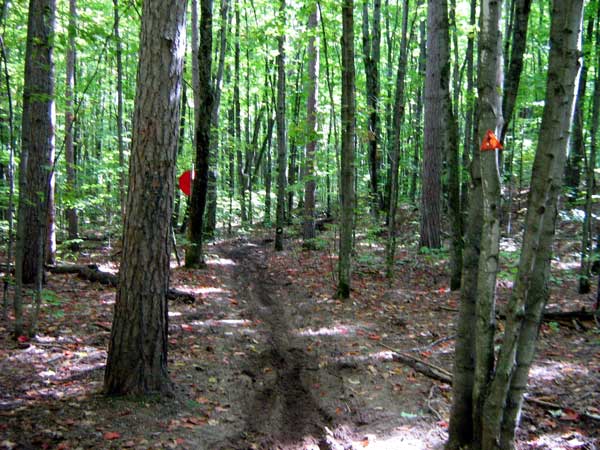
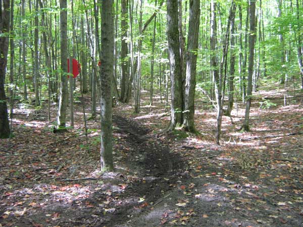
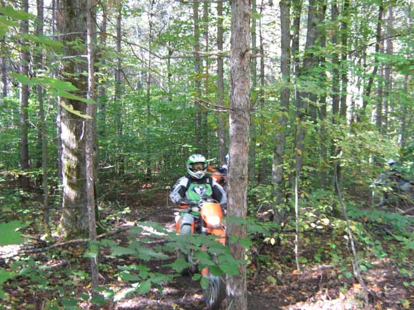
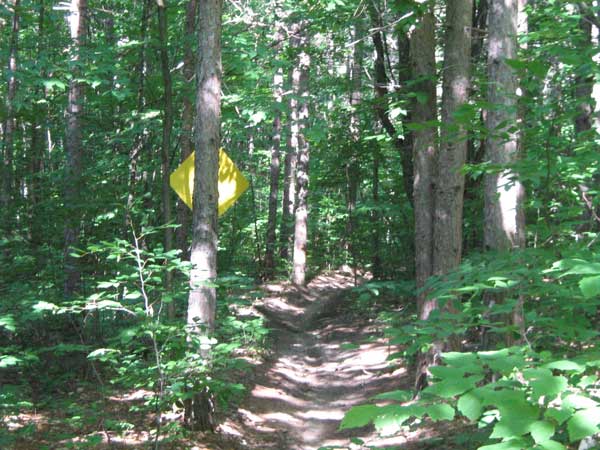
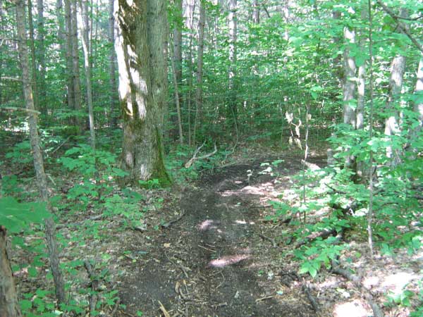
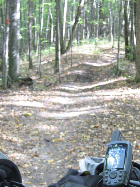
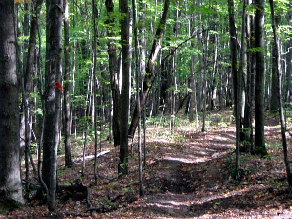
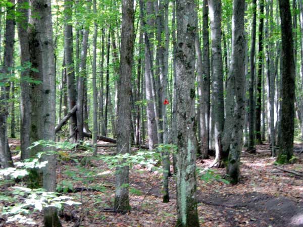
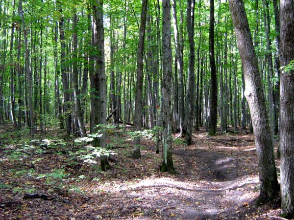
Information on Tomahawk ORV Trail

Back to Main Trail Info Page

OHMATV

Tomawhawk
Pg# 89-91 (PDF 89, PDF 90, PDF 91)
Width: 40"
Length: 108.6
Traffic: Some
County Rds Open to ORVs: Some
Forest Rds Open to ORVs: No
ORV Trail. Maintained for motorcycles. Tighter trail, wooded, rolling to hilly. Generally sandy to rocky and hard-packed. Several loop options. B & C Loops are motorcycle-only. B Loop has section requiring SOS license. Modern Staging areas. Located in Cheboygan, Charlevoix and Emmet counties which allows ORVs on county roads.

Video of Trail, 11 minutes, Quicktime, 80 MB


Back to Trails List

Information about this page

Information regarding ORV use in Michigan

Trail Guide at a glance

Big Picture of trail locations

Map Book Information

GPS Map Information

Creative Commons License
This work is licensed under a Creative Commons Attribution-Noncommercial-No Derivative Works 3.0 License

Email Webmaster@vvmapping.com for site issues/suggestions
Email info@vvmapping.com for all other items

Copyright 2008 Valley Ventures Mapping LLC