VVMapping.com - providing high quality mapping products for outdoor recreation & Beyond
|
|
Information on Kalkaska ORV Trail
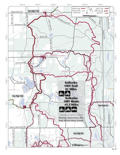
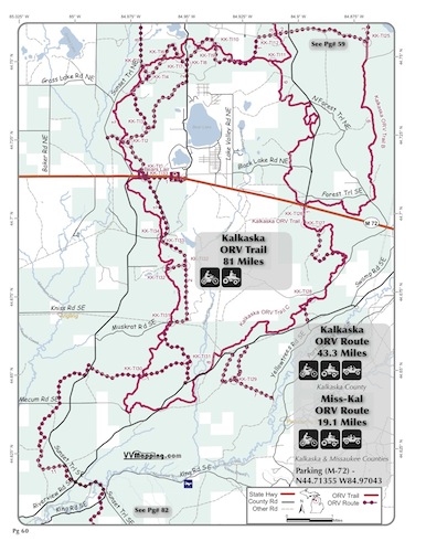
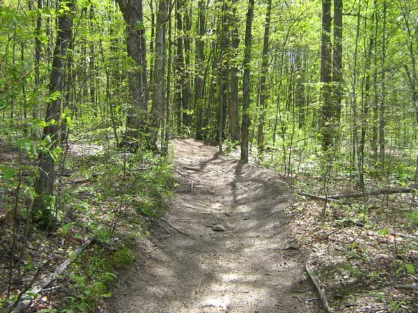
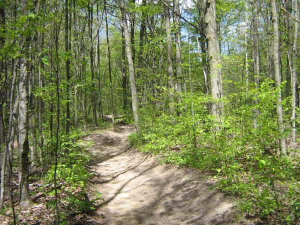
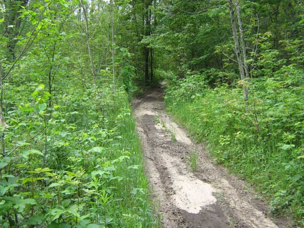
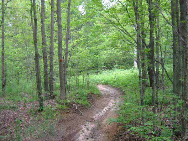
Kalkaska ORV Trail. Mostly sandy, rolling to hilly. Mostly sandy, with a few rocks and plenty of roots mixed in. Whooped in sections. Tighter 50" trail. Several loop options. Connects to Pickeral Lake State Forest Campground via MCCCT. Connects to food/fuel on M-72 and Starvation Lake. Three staging areas.. See also Kalkaska Route. Located in Kalkaska and Antrim counties which allows ORVs on county roads.
Video of Trail, 3 minutes, Quicktime, 25 MB
|
Back to Trails List
Information about this page Information regarding ORV use in Michigan Trail Guide at a glance Big Picture of trail locations Map Book Information GPS Map Information
|