VVMapping.com - providing high quality mapping products for outdoor recreation

You are here -> Home: Trail Info: Little Coal River

Home

Free Maps

Store

ORV Trail Maps

ORV Trail Information

Snowmobile Trail Maps

Outdoor Recreation Maps

Service/Support

Contact

Privacy Policy

About Us

Mailing List


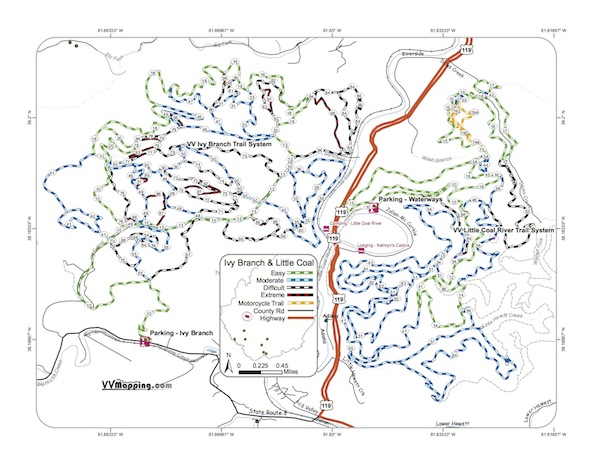
Information on Little Coal River Trail

Updated 5/18/10

Back to Main Trail Info Page

OHM ATV

Little Coal River Trail
Printable Map (PDF), Page with Video of Trail. More Pictures.
Length: 48 Miles
Community Connector: No
Little Coal River is the shortest and usually considered the easiest of the trail systems. This system an "UTV" park allowing the side by sides on most all of the trails. The black trails are relatively easy when dry. When wet, it's a slippery system. Additional trails in 2009; new single tracks are extreme technical rock ledge climbs and sidehill action (more so when covered with 6" of wet leaves). Modern HM Welcome Center near the parking area.

Trail Rating
Length (Miles)

Trail Notes:

52 Black
From 56 to 18. Rocky descent. Easier 56 to 18.

83 Black
From 56 to 18. Rocky descent. Easier 56 to 18.

85 Black
From 18 to 56. Minor climb, should be Blue Trail.

72 Black
From 54 to 43. Very steep rocky descent. Easier 54 to 43.

192/194 Orange
From South to West. Spiral around peak, relatively flat, one steep rocky descent. Easier South to West.

83 Orange - Rode First half mile to powerline cliff; sidehill action afterwards; track not actual from powerline to terminus near 10-12 intersection.
184 Orange - Easier 12 to 18; major rocky descents.
185 Orange - Easier 12 to 18; major rocky descents; rode 1/4 mile from 18 side of 184; track not actual to 184 intersection on 12 side.
187 Orange; Major sidehills; Rode 1/3 mile either direction; track not actual for middle 1/2 mile
83 Black - Decent climbs with rutted/rocky switchbacks; easier 56 to 18.
84 & 86 Black - Blue class trails, narrow and some up/down.

52 & 72 Blacks are the tougher trails; 83/84/85 are blue-class trails.

192/194 trails are much easier than the 183/184/185/187 trails.

Green
24
Blue
17
Black
2
Extreme
0
Orange
5


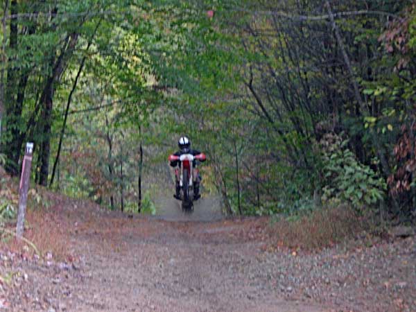
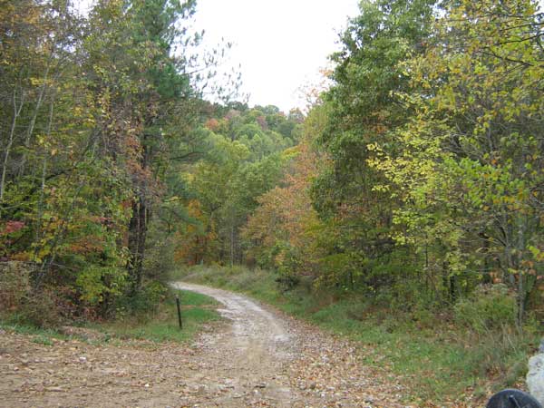
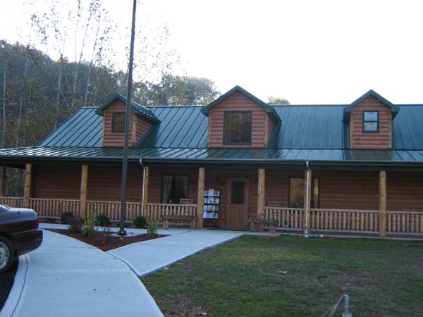
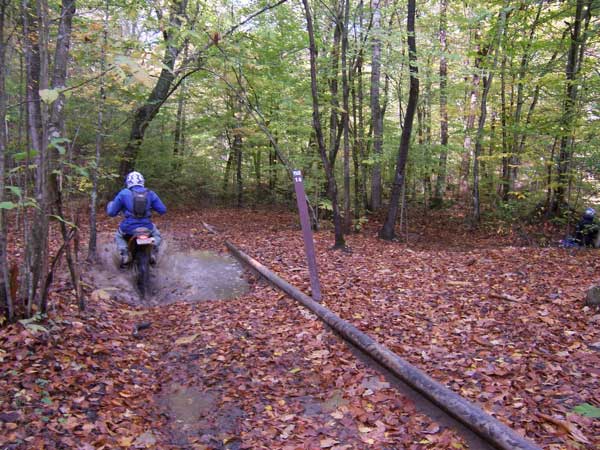
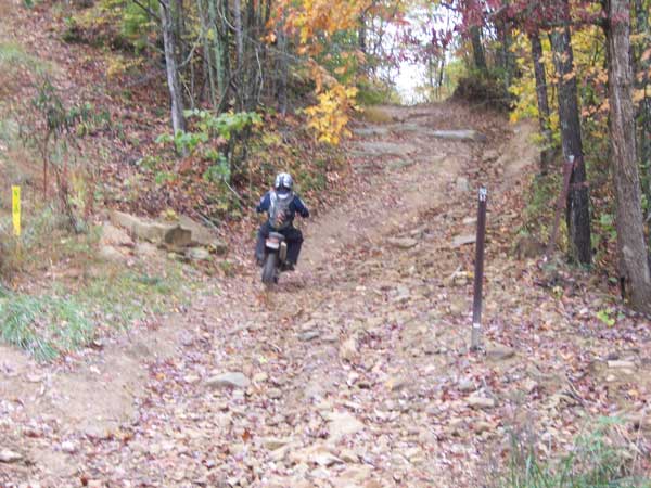
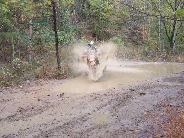
Images of Little Coal River Trail.


Lee R Photo

Back to Trails List

Information about this page

Information regarding ORV use in West Virginia

Big Picture of trail locations

GPS Map Information

Creative Commons License
This work is licensed under a Creative Commons Attribution-Noncommercial-No Derivative Works 3.0 License

Email Webmaster@vvmapping.com for site issues/suggestions
Email info@vvmapping.com for all other items

Copyright 2008 Valley Ventures Mapping LLC