|
Home
Free Maps
Store
ORV Trail Maps
ORV Trail Information
Snowmobile Trail Maps
Outdoor Recreation Maps
Service/Support
Contact
Privacy Policy
About Us
Mailing List
|
| Information
on Burning Rock Trail
Updated 7/12/12
Back to Main Trail Info Page
  
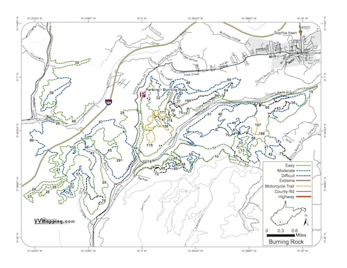
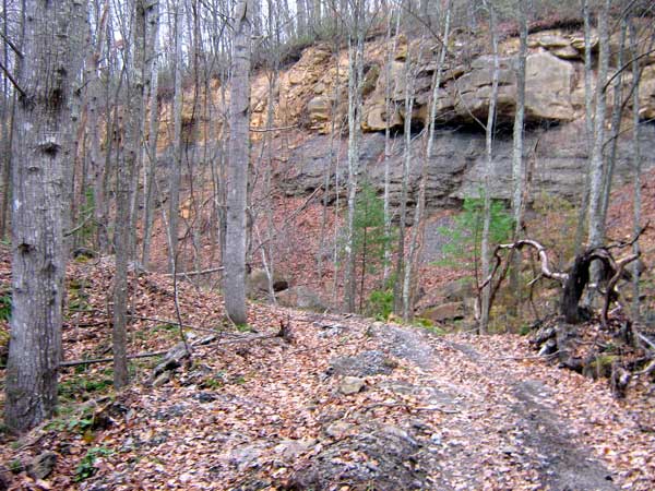
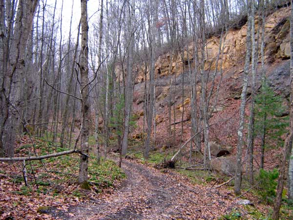
Burning Rock Trail
Printable Map (PDF), Page with Video
of Trail. More Pictures.
Length: 100.5 Miles
Community Connector: No
Burning Rock is not part of the Hatfield McCoy system, although
the terrain, layout, design and most other aspects are very similar.
There is a separate fee/sticker for use on this system. Most of
the trails are easier, similar to Indian Ridge or Pinnacle Creek
(it's nearest trail neighbor). Cabins and a large campground are
located on site in addition to a store, pavillion and restrooms. A Zip Line as well as ATV/UTV Rentals are available on-site.
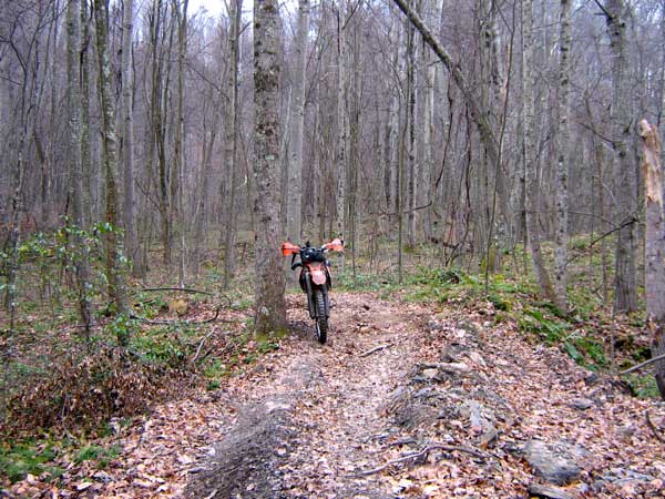
Some of the trails are very muddy, notably trail 59 locally referred
to as the "Amazon" trail due to the dense green foilage and muddy
conditions. Most of the single tracks are more flowing and "fun"
compared to most of the death-defying single track on the Hatfield
McCoy system. While there are rocks, this trail has more soil than
rock with a nice mix of shale/slab in addition to squared loose
rocks in areas. Several trails closed in 2010/2011 but many more new trails added in the same time frame.
Trail Rating
|
Length (Miles) |
Trail
Notes:
95 Black - "Amazon" trail, did
not ride, too muddy for bikes; track not actual
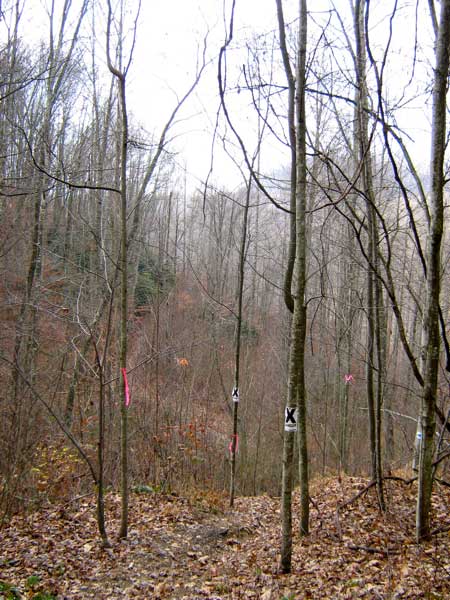
166/167 Orange - Did not
ride, Trail unridden (difficult to locate trail in leaves);
track not actual.
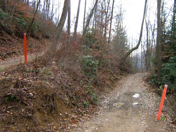
Some of the newer Black and even Blue trails are much more challenging than the rest of the system (notably 94 Black and 68 Blue).
|
Green |
44.3 |
Blue |
37.1 |
Black |
14.1 |
Extreme |
0 |
Orange |
5 |
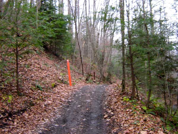
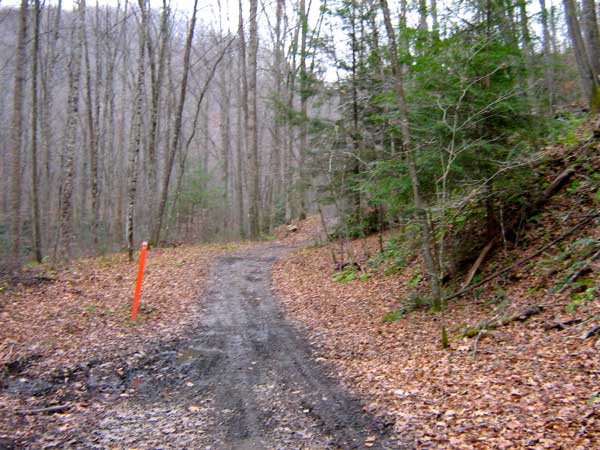
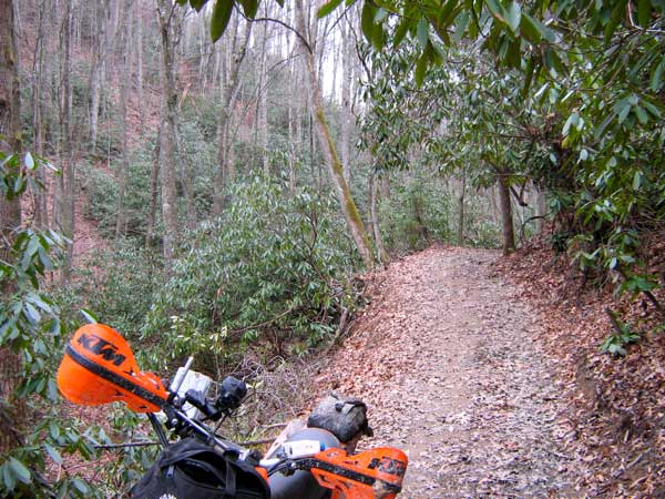
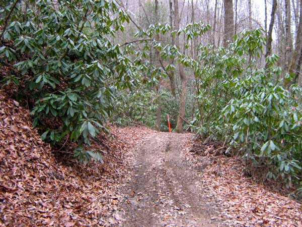
Images of Burning Rock Trail.
|
|
Information about this page
Information regarding
ORV use in West Virginia
Big Picture of trail locations
GPS Map Information

This work is licensed under a Creative Commons Attribution-Noncommercial-No Derivative Works 3.0 License
|
