VVMapping.com - providing high quality mapping products for outdoor recreation

You are here -> Home: Trail Info: Buffalo Mountain

Home

Free Maps

Store

ORV Trail Maps

ORV Trail Information

Snowmobile Trail Maps

Outdoor Recreation Maps

Service/Support

Contact

Privacy Policy

About Us

Mailing List


Information on Buffalo Mountain Trail

Updated 11/25/11

Back to Main Trail Info Page

OHM ATV

Buffalo Mountain Trail
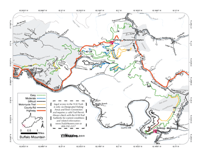
Printable Map (PDF), Page with Video of Trail. More Pictures.
Length: 112.9 Miles
Community Connector: Yes
Buffalo Mountain has evolved from basically a three-legged star with each spur going to a destination into an arching loop with multiple options along the way. Has the most single track of any of the systems. Generally an easier system on all but the orange trails, similar to Indian Ridge and Pinnacle Creek. Erosion has caused the extreme and black trails to become more difficult over time, more so than Pinnacle/Indian. Most single tracks are extreme difficult with rocky ledges, step-outs and many sections where a trials bike is more appropriate. Trails added in 2010/2011, system is constantly expanding. Gas, food and lodging in Williamson and Matewan and Delbarton.

Trail Rating
Length (Miles)
Trail Notes:

38 Black
From 39 to 18. Minor descent. Easier 39 to 18.

39 Extreme
From 18 to 38. Several steep/rocky climbs, some narrow. Easier 38 to 18.

92 Black
From 34 to 15. Significant descent, some loose rocks. Easier 34 to 15.

98 Black
From 16 to 13. Rocky climb and rocky descent. Same either way.

199 - Rode 1/2 of trail including both ends, not actual track between; did not ride all.
198 - Easier 38 to 195; serious rock steps/descent at 195.
197 - Did not Ride; not actual track
196 - Easier 20 to 48, couple interesting rocky climbs, lots of narrow/edge sections.
195 - Rode 1/4 mile each end, significant rocky steps/climbs/descents.
186 - Did not ride; not actual track
182 - Rode each end, about 1 mile total. Several step-out rocky/rooty ledges and descent ledge climbs.
150 - Easier 18 to 21; major descent at 18 end.
132 - Easier 11 to 10 for minor sidehill descent at 10; hop pipeline with some rocks and tight trees.
56 Blue - Lots of switchbacks from 57 to 11, downhill all the way.
57 Blue - Decent rocky climb; easier 56 to 11.
96 Black - Downhill from 11 to 94.
94 Black - Long descent from 96 to halfway; then road up to 95; easier 96 to 95.
95 Black - Decent rocky climb from 94 to 11; easier 11 to 94.
99 Black - Serious descent from 23 to 35; easier 23 to 35.

90 Black - long switchback rocky climb near 29 Blue.

97 Extreme - vertical drop to connect to 18 Green.

149 Orange - several off camber climbs counterclockwise.

147 Orange - slick off camber climb counterclockwise.

177/178 Orange - substantial climb in either direction, trail currently drops into cut in between access road and mountain side where the DEEP mud is (yuck for the bike!).

191 Orange - Short but substantial drop from 198 to 18.

Green
51.9
Blue
23.4
Black
9.3
Extreme
2.3
Orange
26


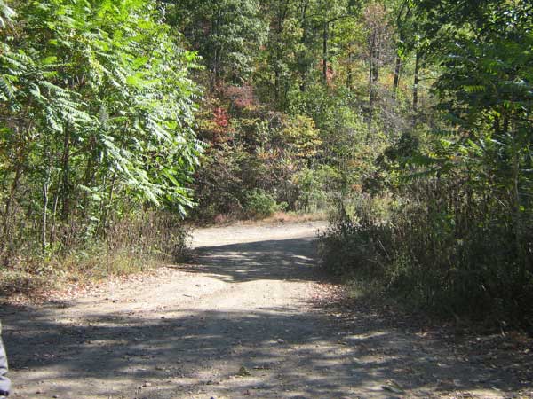
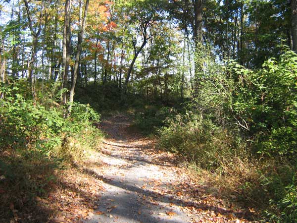
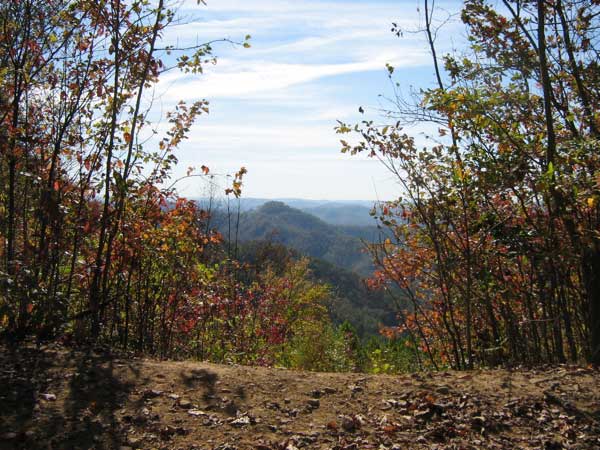
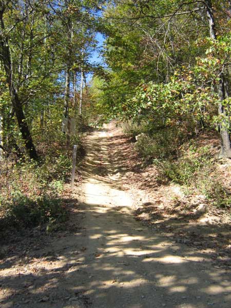
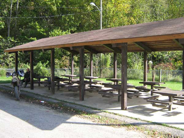
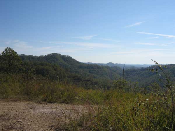
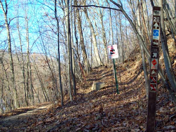
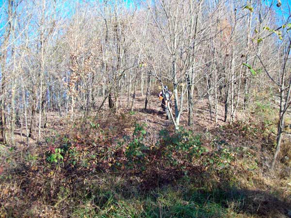
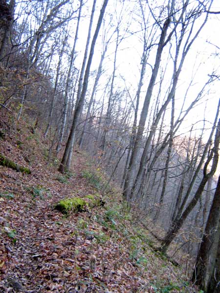
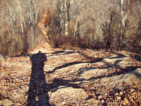
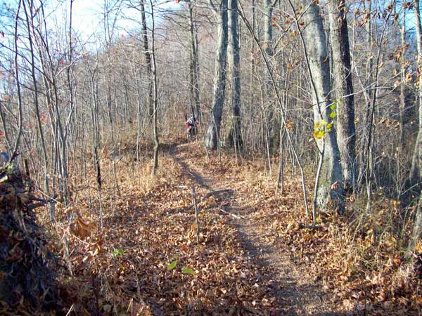
Images of Buffalo Mountain Trail.


Back to Trails List

Information about this page

Information regarding ORV use in West Virginia

Big Picture of trail locations

GPS Map Information

Creative Commons License
This work is licensed under a Creative Commons Attribution-Noncommercial-No Derivative Works 3.0 License

Email Webmaster@vvmapping.com for site issues/suggestions
Email info@vvmapping.com for all other items

Copyright 2008 Valley Ventures Mapping LLC