VVMapping.com - providing high quality mapping products for outdoor recreation

You are here -> Home: Trail Info: Iron County WI

Home

Free Maps

Store

ORV Trail Maps

Online Trail Guide

Snowmobile Trail Maps

Service/Support

Contact

Privacy Policy

About Us

Mailing List


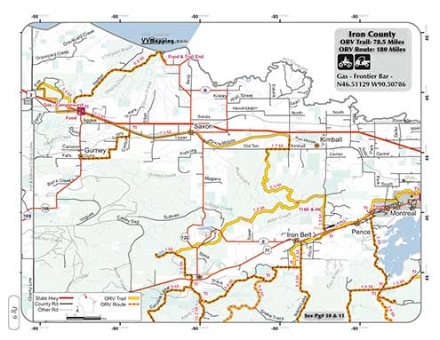
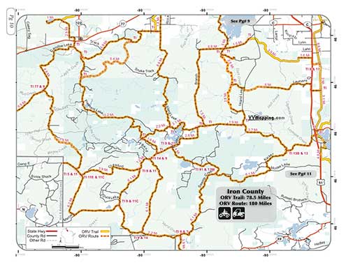
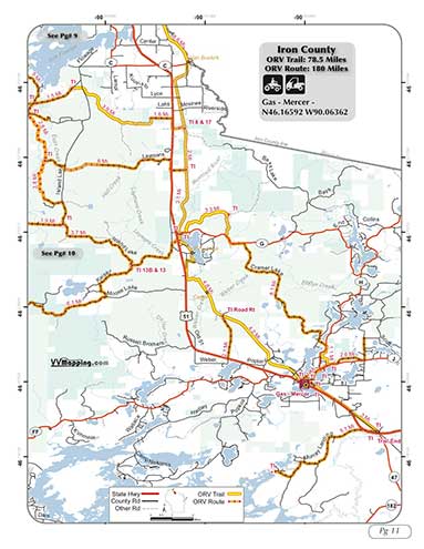
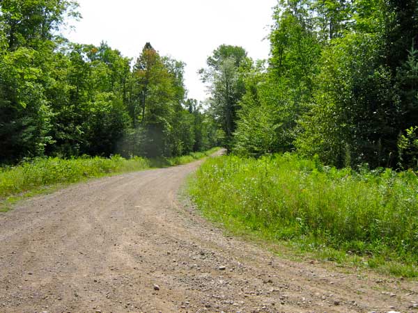
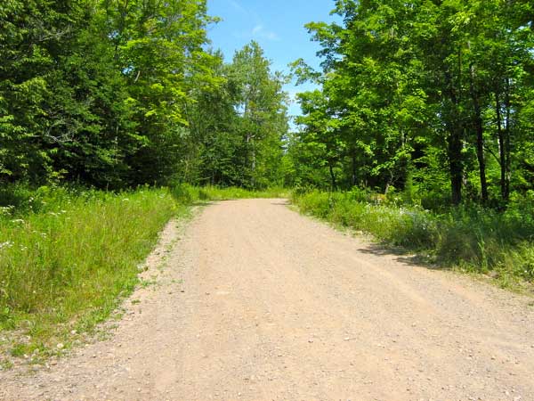
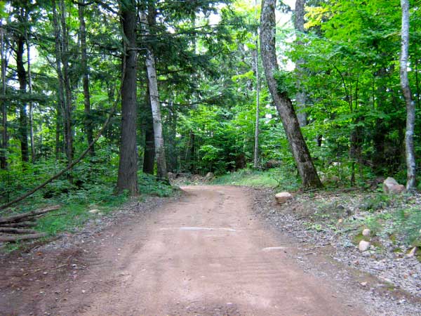
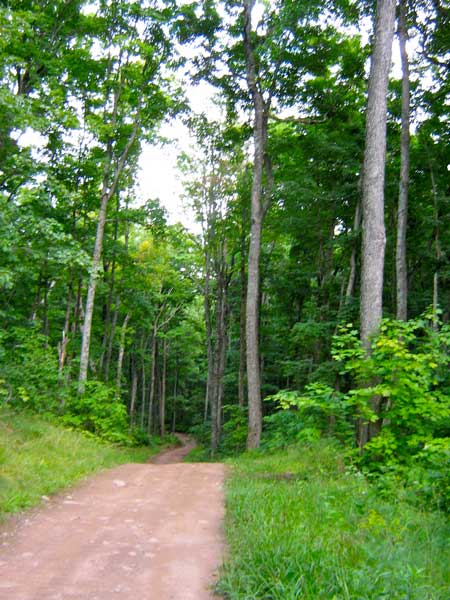
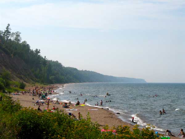
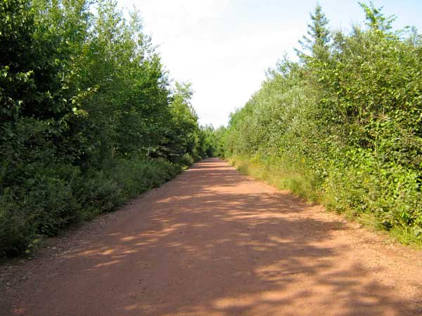
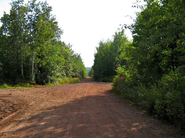
Information on Iron County ORV Trails & Routes

Back to Main Trail Info Page

Iron
Page: 9, 10, 11
Trail Miles: 78.5
Route Miles: 180
UTV = OK
No Motorcycles

Description:
Trail is mostly RR grade, can be choppy. Neat trail from US 2 to Hwy 77, very hilly, hardpack, older timber with some larger rocks. Couple muddy/rocky sections of trail (not on RR Grade), remaining is generally dirt and gravel road routes. Route access to waterfall as well.
Can access Lake Superior via Route.

Video of Trail, 5 minutes, Quicktime, 25 MB


Back to Trails List

Information about this page

Information regarding ORV use in Wisconsin

Big Picture of trail locations

Map Book Information

GPS Map Information

Creative Commons License
This work is licensed under a Creative Commons Attribution-Noncommercial-No Derivative Works 3.0 License

Email Webmaster@vvmapping.com for site issues/suggestions
Email info@vvmapping.com for all other items

Copyright 2008 Valley Ventures Mapping LLC