VVMapping.com - providing high quality mapping products for outdoor recreation
You are
here -> Home:ORV Maps:GPS Map Sample Features
|
|
ORV Map Features at a Glance GPS Screen Samples on other page All of the counties in Wisconsin are covered. The public ORV Trail system is included. Gas stations on or near the trail system, campgrounds with direct or near direct trail access. Public land ownership information. Plenty more! Current ORV Maps have these trail types defined:
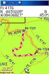
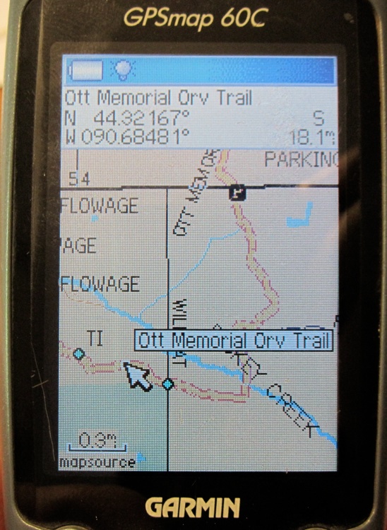
Map Features and as seen on a Garmin GPS
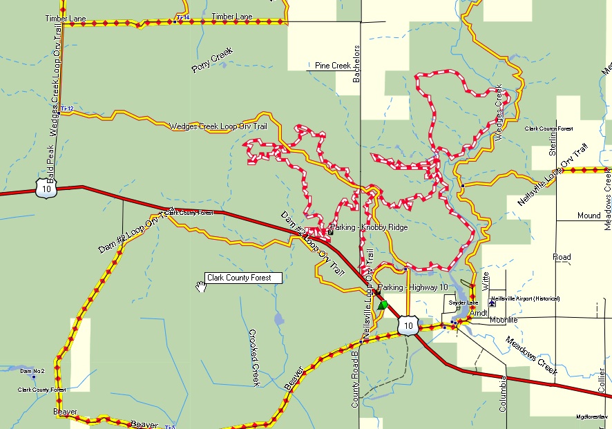
As seen in MapSource
Questions? Please email us with your questions/suggestions. |