|
Home
Free Maps
Store
ORV Trail Maps
ORV Trail Information
Snowmobile Trail Maps
Outdoor Recreation Maps
Service/Support
Contact
Privacy Policy
About Us
Mailing List
|
| Information
on RockHouse Trail
Updated 11/25/11
Back to Main Trail Info Page
  
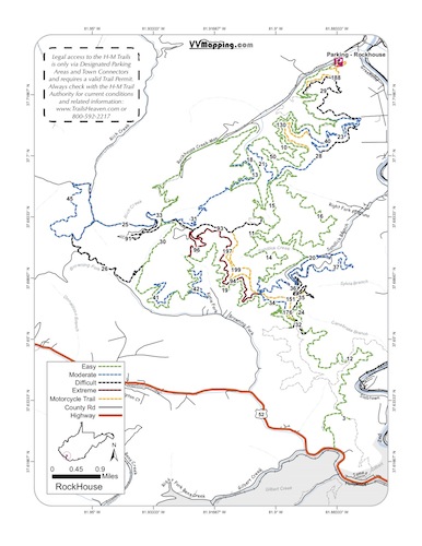
RockHouse
Printable Map (PDF), Page with Video
of Trail. More Pictures.
Length: 97 Miles
Community Connector: Yes
RockHouse is one of the older and most heavily used trails
in the Hatfield McCoy system. Along with BearWallow, it's the
most rocky of the trails. These rocks add to the difficulty of
the Blue and Black trails. For example, the Black trails at Indian
Ridge/Pinnacle Creek/Buffalo Mountain are almost as challenging
as the Blue Trails here. Gas, food and lodging in Man and Gilbert.
Trail Rating
|
Length (Miles) |
Trail
Notes:
26 Black
From 45 to 30. Significant rocky descent,
large/loose big rocks. Easier 45 to 30.
28 Black
NE to SW. Several rocky climbs. Easier SW to NE.29 Black
From 10 to 40. Significant rocky climb. Easier 40 to 10.
32 Black
From 19 to 34 to 12. Decent climb (no rocks) to 34, minor descent with rocks
from 34 to 12. Easier 34 to 12, 34 to 19.
91 Black
From 25 to 30. Several decent descents with large, loose, rocks. Easier 25 to
30.
93 Black
From 31 to 11. Decent descent, loose rocks. Easier 31 to 11. |
Green |
50 |
Blue |
24 |
Black |
12 |
Extreme |
5 |
Orange |
7 |
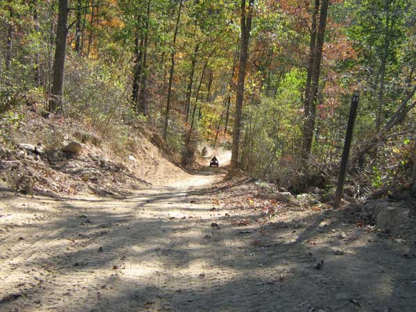
Images of RockHouse Trail.
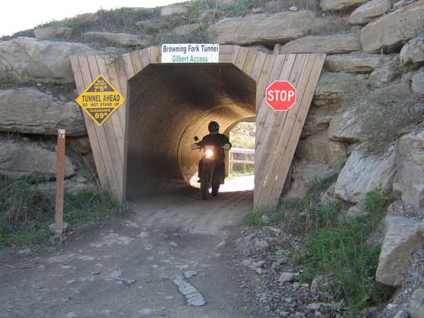
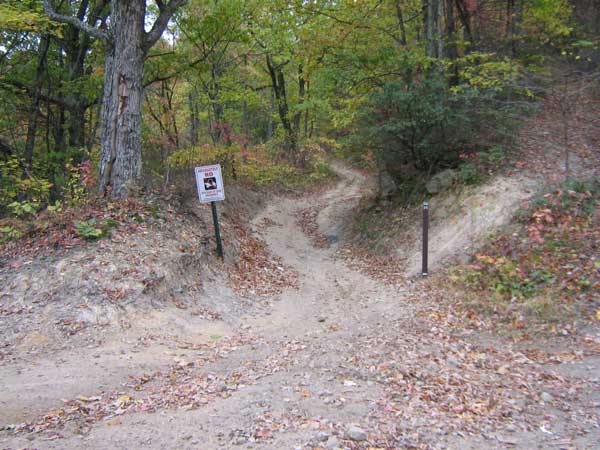
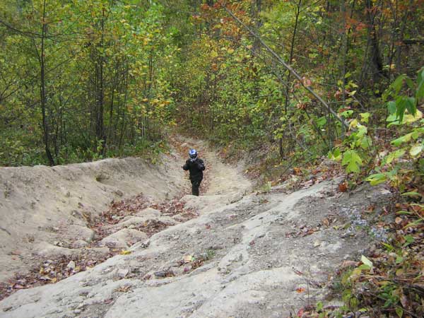
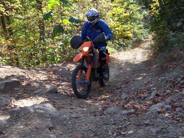
Frank B Photo
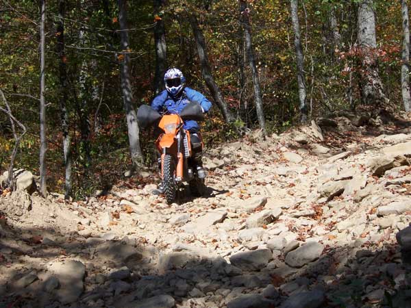
Frank B Photo
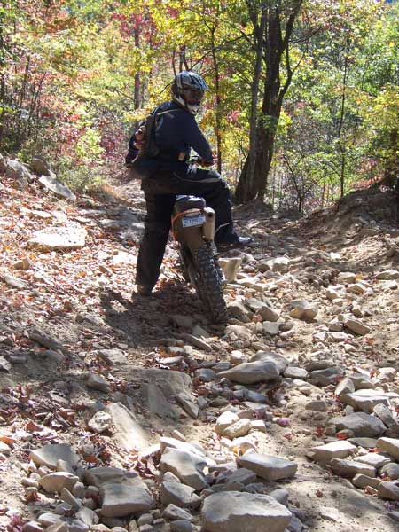
Lee
R Photo
|
|
Information about this page
Information regarding
ORV use in West Virginia
Big Picture of trail locations
GPS Map Information

This work is licensed under a Creative Commons Attribution-Noncommercial-No Derivative Works 3.0 License
|
